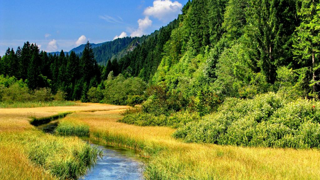
Sava Basin

The Sava is the Danube's largest tributary of the Danube in terms of discharge and the second largest in terms of catchment area. The Sava is shared by Slovenia, Croatia, Bosnia and Herzegovina, Serbia and Montenegro. The joint management arrangements acted as a pilot for the implementation of the European Union's Water Framework Directive for the Danube and Europe.
The Sava rises in the mountains of western Slovenia and passes through the lowlands of Croatia before forming the border between Croatia and Bosnia and Herzegovina. As it flows through Serbia, it reaches its confluence with the Danube in Belgrade (with an average flow of 1,564 m³/sec). Its main sub-tributaries are the Krka, Kupa, Una, Vrbas, Bosna, Drina and Kolubara. The size of the Sava basin is around 95,419 km², which makes it the second largest sub-basin of the Danube after the Tisza River Basin.
International Sava Agreement
The joint management of the Sava River Basin by Slovenia, Croatia, Bosnia and Herzegovina, Serbia and Montenegro continues to be a shining example for the implementation of the EU Water Framework Directive for the Danube and Europe.
The Framework Agreement on the Sava River Basin and the Protocol on the Navigation Regime, both signed in 2002, promote regional co-operation throughout the Sava River Basin on issues related to navigation, economic development, comprehensive water management and environmental protection.
In June 2005, the International Sava River Basin Commission (ISRBC) aka Sava Commission was established and opened its Secretariat in Zagreb (Croatia).
The aim of the Sava Commission is to fully implement the Agreement. Moreover, it is working to facilitate opportunities for economic development by attracting foreign investors and contributing to the enhancement of relations and co-operation between the parties of the agreement.
For further information, please contact the Sava Commission Secretariat at: isrbc@savacommission.org.


